


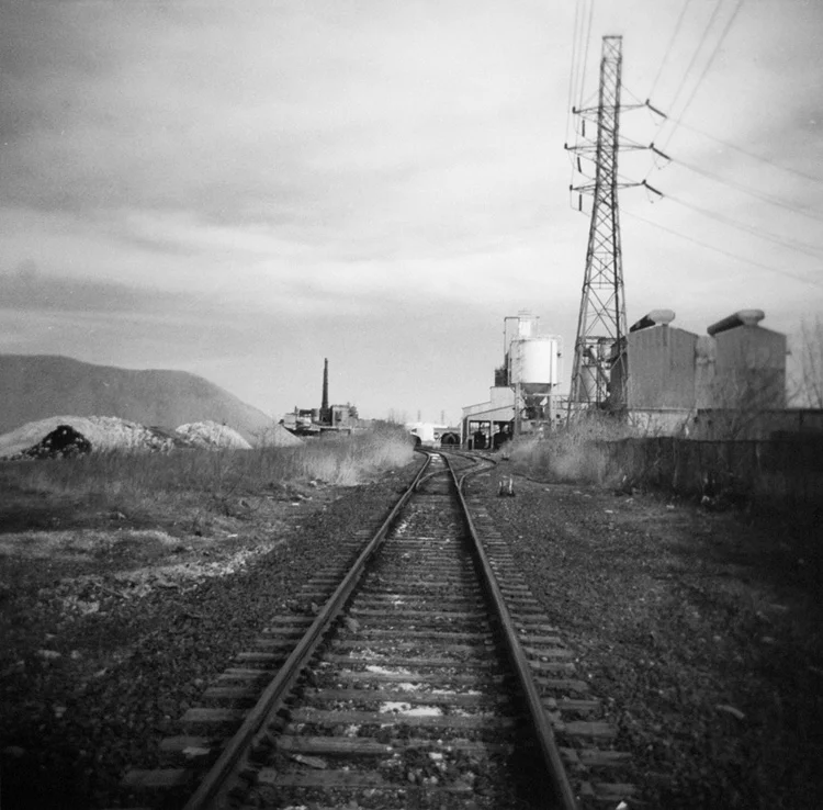


The watershed of the Rouge River covers some 450 square miles of Metro Detroit and is inhabited by an estimated one and a half million people. The mouth of the Rouge, at which it empties into the Detroit River, is at the man-made and heavily developed Zug Island: home to iron, steel, and chemical plants, as well as a nearby mainland waste water treatment plant. Deemed one of the most polluted rivers in the nation in the 1980s, the Rouge has been the subject of several clean-up efforts to reduce the dumping of industrial waste and untreated sewage.
This photo essay contrasts the industrial areas of the city of River Rouge with historic Hines Park, an 18-mile-long area that serves as a flood control plain for the middle branch of the river. It is interesting to note that, today, industry accounts for only 2% of the pollution in the Rouge. Runoff from storm water, sewer overflows, and litter - largely the effects of individuals and suburban areas - now comprise the main opposition to the river's health.
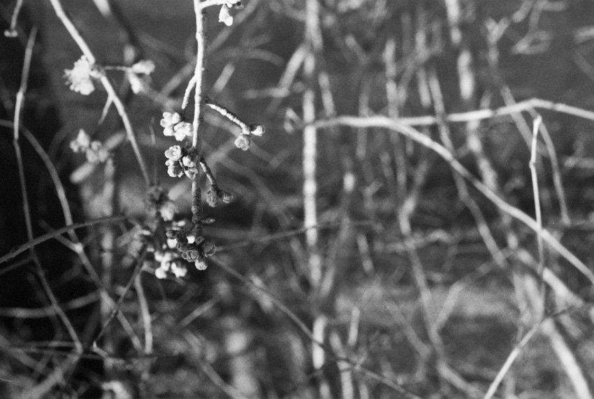
infrared 35 mm film
infrared 35 mm film
infrared 35 mm film
infrared 35 mm film
infrared 35 mm film
infrared 120 film
infrared 120 film
infrared 120 film
infrared 120 film